Creating maps
20 Jan 2023
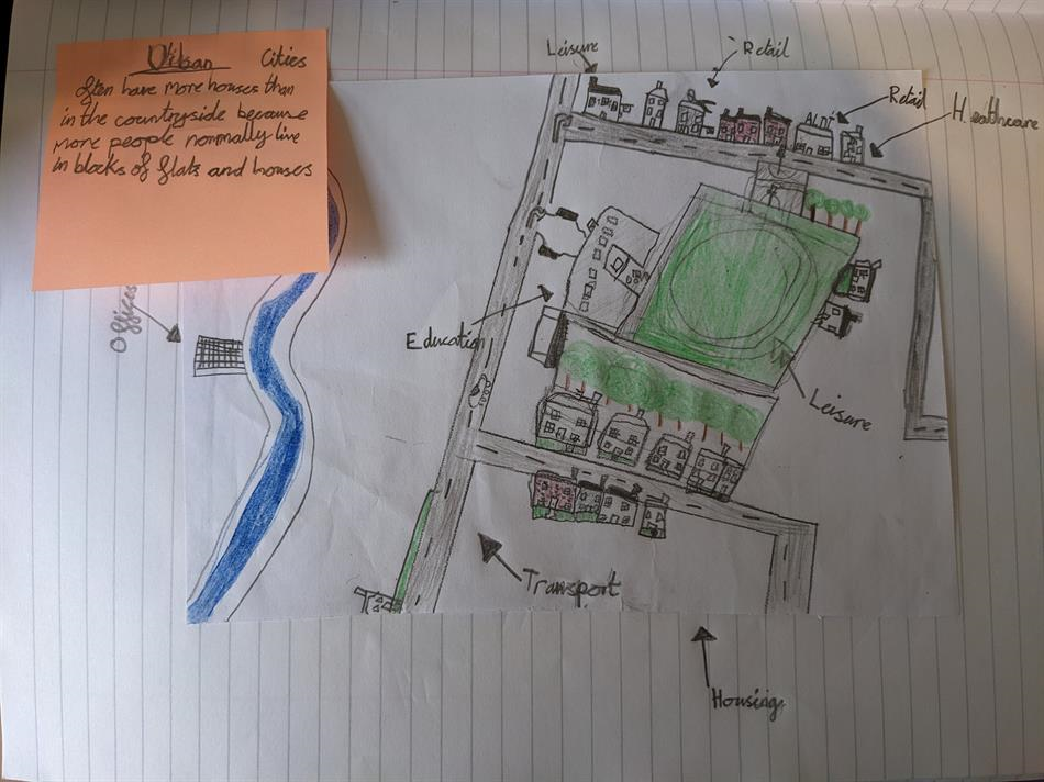
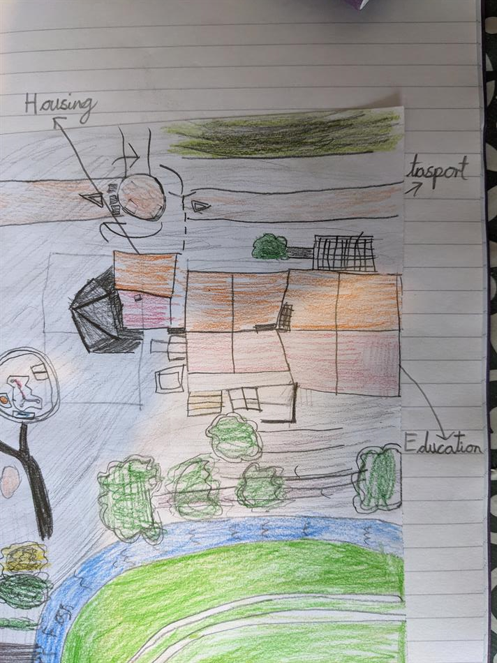
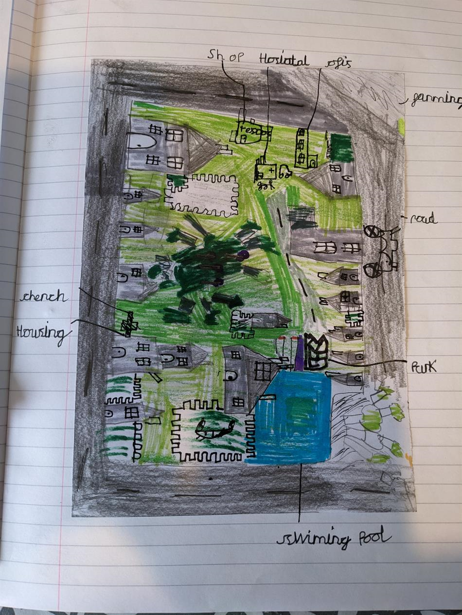
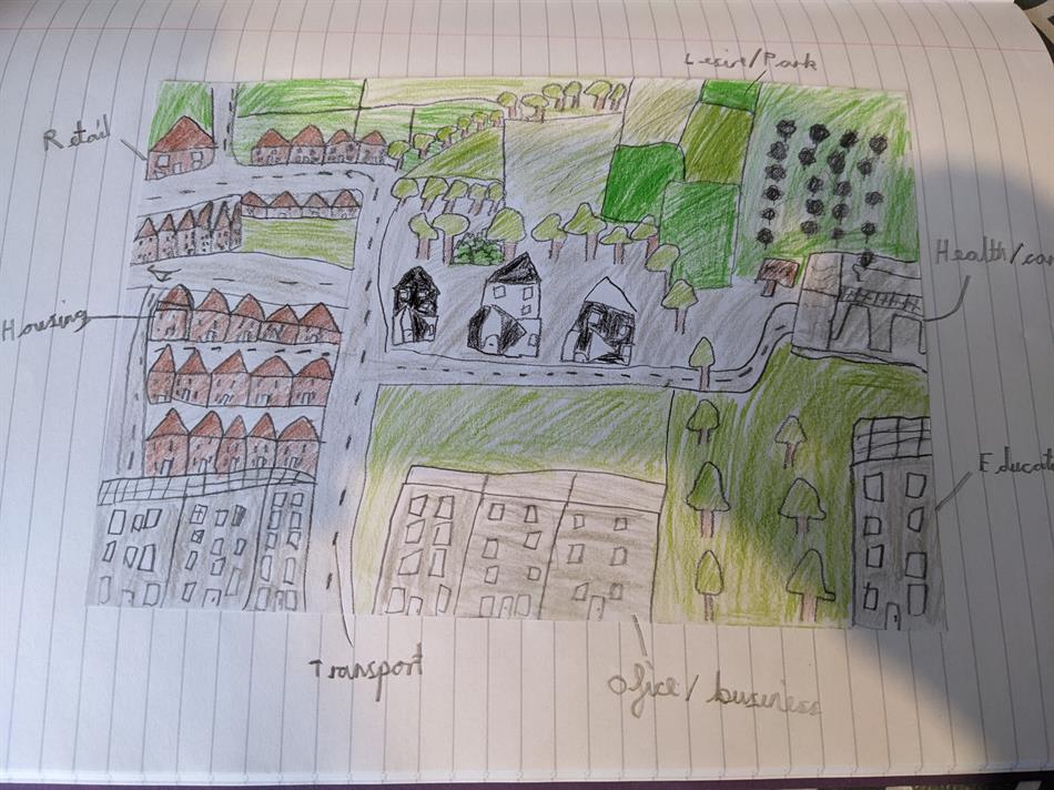
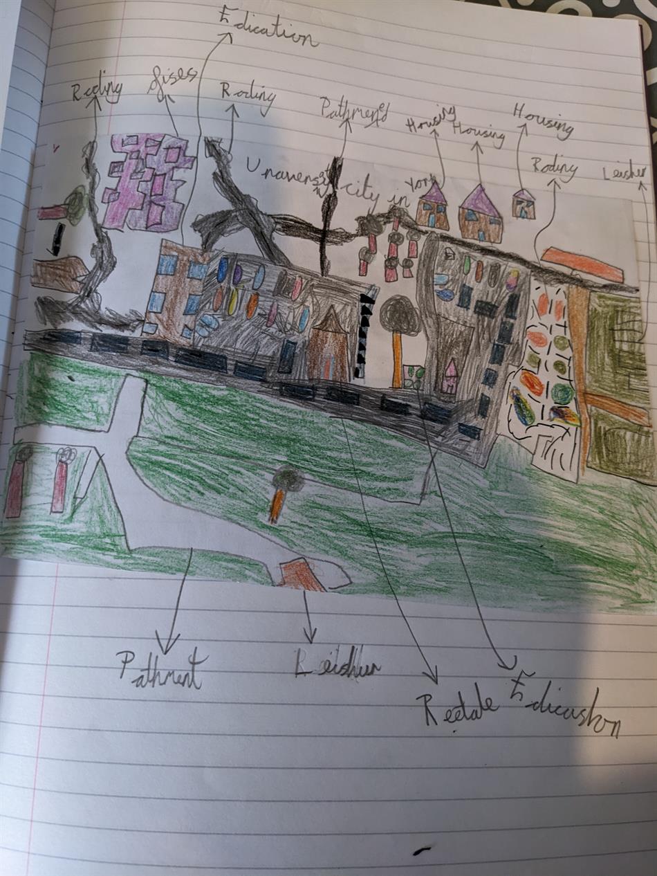
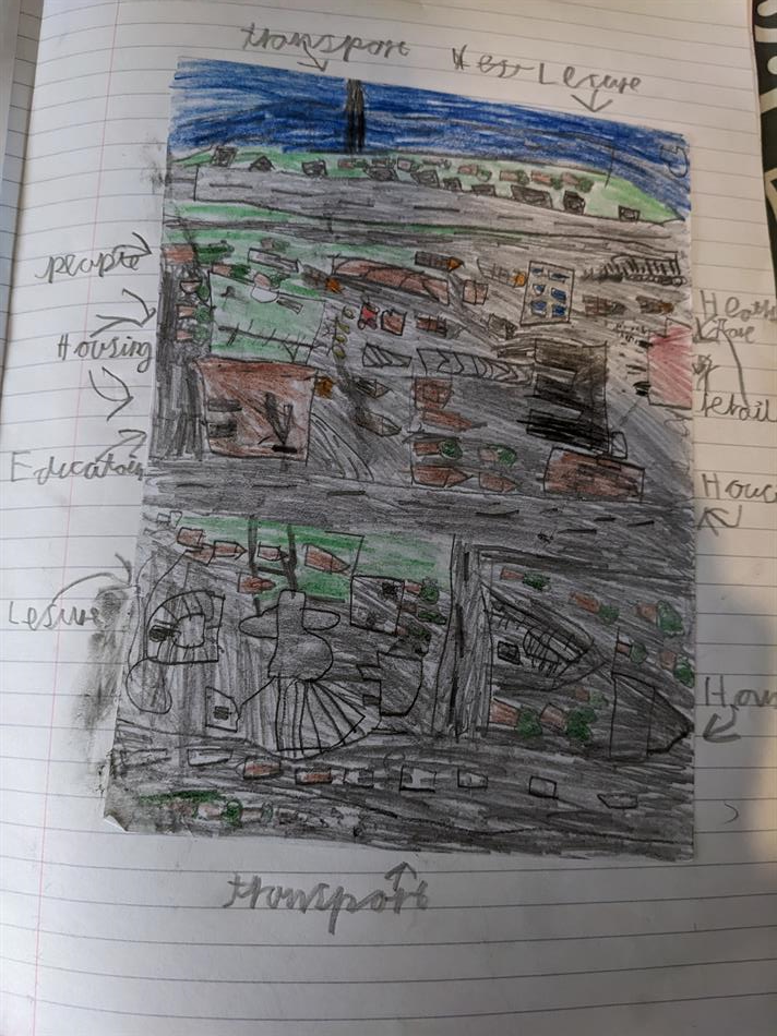
This week we have been creating our own maps to show how land use is different in rural and urban places. We compared Grewelthorpe to York and London and thought about what sorts of things we could see. The children were amazed at just how huge London was and yet how little green space there was. They did like the idea of having lots of shops and leisure activities close by though.
The children picked an area of the city and drew it in detail to really focus and understand what sort of things the land was used for. The quality of their final maps was amazing and they were able to pick out all of the different ways the land was used.
We also talked about which they would prefer to live in, a rural or urban area, and they decided that they liked living in a rural place more as it was quieter and they liked having lots of fields around them and places to play (although apparently they wouldn't mind a few more fast food places in Grewelthorpe.

).
